Friday, October 28, 2022

My Parents' Grave

Today my siblings, our spouses, my son, and I were able to gather to finally have the Rite of Committal and bury the cremains of our parents, Frederick Henry Pape (1929-2017) and Geraldine Margaret Guokas Pape (1928-2019), at St. Mary's Memorial Garden Cemetery in Fredericksburg, Texas.  


My parents' cremains urns (pictured below) were placed in the vault (pictured above) before the Rite and burial.


Above, left to right:  Mark Pape and wife Nazli Rampi Mayer, Karen Pape, my husband Mark Gresham, Mary Pape, Brian Pape and wife Paige Frederick-Pape, my son Eric Bolme, me.


Originally we had planned to have a Celebration of Life with a larger number of family and friends in April 2020, but COVID caused it to be rescheduled twice and ultimately cancelled.  Some of my four siblings spend large parts of the year in other places (Turkey, Maine, and Colorado), and this was the first time we were all available since the last cancellation.  The weather kind of matched my mood. A cold front came through and it had rained all the night before, and was much cooler (in the 50s) than the previous day (sunny and in the 70s).


Their grave has a view of Cross Mountain (in the center background in the photo above), which was near their 1993-2013 Fredericksburg home after Dad retired.  I think they were happiest in this town.


© Amanda Pape - 2022 - e-mail me!

Wednesday, October 19, 2022

Happy Birthday to Mom in Heaven


© Amanda Pape - 2022 - e-mail me!

Sunday, October 16, 2022

Happy Birthday to My Baby Sister!


My sister Mary Elaine's high school senior picture - forty years ago!


© Amanda Pape - 2022 - e-mail me!

Thursday, September 29, 2022

Granbury's First Bridge

Earlier this month, I attended a presentation by some "old-timers" in Granbury (people who lived here prior to 1969, when the Brazos River was dammed to form Lake Granbury).  They shared their memories of growing up in Granbury, and some spoke about the first bridge that crossed the lake.

Thomas Ewell's 1895 Hood County History has this to say about the bridge (pages 144-145):

Not least among the great enterprises of our county is the mag­nificent tubular arch bridge, which spans the Brazos at Gran­bury, first constructed by private capital put forth in the form of a joint stock company in the year 1878, at a cost of, approximately, $25,000.  The principal men engaged in this undertaking were P. H. Thrash, the Nutt brothers, E. A. Hannaford and J. D. Baker. This bridge was originally built in three span arches, resting on four stone piers, and with its wooden approaches, had a total length of over six hundred feet.  In 1893 it was purchased by the county at $12,500, and bonds issued and negotiated for the amount.  In 1894, the river by reason of floods, so encroached upon the west side approaches, as to wash away a considerable portion, very greatly interrupting travel until the injury was repaired by the substitution of a fourth iron span upon iron pillars.  Other injuries have occurred during the year 1895, but no serious interruptions of travel, and again repairs are rendered necessary, and another iron span added. This bridge, so centrally located in our county, continued for 18 years to be the only wagon bridge across the Brazos above Waco, and has been the means of bringing thousands of immigrant wagons and travelers through our county, many of whom, pleased with its prospects, have remained to be permanent citizens.

A 1956 reprint of the book added the following information ("Hood County Today," page ii):

"The cost of the bridge was cared for by toll. ... Free traffic was opened in 1893. .... In 1932 a new bridge was built. The old bridge was torn down in 1937..."

I found an article about the bridge in the August 24, 1877, Galveston Daily News.  The article was reprinted from The Vidette, the newspaper in Granbury at that time.  This article said the bridge was four hundred feet long (which was probably the length of the iron arches):


cropped from The Galveston Daily News. (Galveston, Tex.), Vol. 36, No. 132, Ed. 1 Friday, August 24, 1877, newspaper, August 24, 1877; (https://texashistory.unt.edu/ark:/67531/metapth462488/m1/4/zoom/?q=%22tubular%20arch%20bridge%22&resolution=1&lat=806.3896458788859&lon=2854.7513022701564: accessed September 28, 2022), University of North Texas Libraries, The Portal to Texas History, https://texashistory.unt.edu; crediting Abilene Library Consortium.


An earlier reference to the contract by the Granbury Bridge Company with S. E. [sic, should be Z.] King and Company of Cleveland, Ohio, appeared in the Galveston Daily News of August 10, 1877, in a column called "Texas News By Telegraph." 


cropped from The Galveston Daily News. (Galveston, Tex.), Vol. 36, No. 120, Ed. 1 Friday, August 10, 1877, newspaper, August 10, 1877; (https://texashistory.unt.edu/ark:/67531/metapth461238/m1/1/?q=%22tubular+arch+bridge%22: accessed September 28, 2022), University of North Texas Libraries, The Portal to Texas History, https://texashistory.unt.edu; crediting Abilene Library Consortium.


Why did this transaction occur in Courtney, a town about 200 miles southeast of Granbury?  Courtney was on the Brazos River and on the railroad in the far southwestern corner of Grimes County (near today's Luther Unit of the Texas state prison).  Apparently the Granbury Bridge Company's contract was signed about the same time as that of Courtney Bridge Company, according to an article in The Daily Banner of August 11, 1877, from nearby Brenham, Texas. 

The Granbury Bridge Company representative(s) might have traveled to Courtney down the Houston and Texas Central Railroad from Fort Worth or Waxahachie (the "From Waco" portion in the 1876-1883 map below had not been - and ultimately wasn't - constructed).  Click on the map below to view a larger version; Granbury and Courtney are outlined in fuchsia.  (The Courtney Bridge was undermined by high water and collapsed in 1890.)


cropped and edited from Houston & Texas Central Railway Company. Revised map of the State of Texas., map, [1876..1883]; Chicago, Illinois. (https://texashistory.unt.edu/ark:/67531/metapth190460/m1/1/: accessed September 28, 2022), University of North Texas Libraries, The Portal to Texas History, https://texashistory.unt.edu; crediting University of Texas at Arlington Library.


So just where was this Granbury bridge located?  Its first appearance is on an 1889 U.S. Geological Survey map that was based on a survey done in 1887.  By this time, the Fort Worth and Rio Grande Railway had been extended to Granbury.


cropped from Geological Survey (U.S.). Granbury Sheet, map, 1889 [surveyed in 1887]; Reston, Virginia. (https://texashistory.unt.edu/ark:/67531/metapth451417/m1/1/: accessed September 27, 2022), University of North Texas Libraries, The Portal to Texas History, https://texashistory.unt.edu; crediting UNT Libraries Government Documents Department.


This map was the same (still using the 1887 survey) in 1949.  It clearly wasn't updated as a new bridge was built in 1932 and this one was torn down in 1937.  The bridge was gone by the 1963 map.  

The 1923 map below may be more accurate, as old-timers on the panel and another source place the bridge at the south end of Cleburne Street, on the northwest side of the Brazos River/Lake Granbury.  It joined up with Old Cleburne Road on the southeast side of the river/lake.  My house is two blocks from the north end of Cleburne Street.  I imagine remnants of the old bridge were still visible before the lake filled up.


cropped from Geological Survey (U.S.). Granbury 2-a Quadrangle, map, 1923; Reston, Virginia. (https://texashistory.unt.edu/ark:/67531/metapth455848/m1/1/: accessed September 27, 2022), University of North Texas Libraries, The Portal to Texas History, https://texashistory.unt.edu; crediting UNT Libraries Government Documents Department.


What did this bridge look like?  Unfortunately, no photographs of it survive.*  However, in 1875, the King Bridge Company had completed another tubular arch bridge (aka "King patent tubular bowstring iron bridge") for the Army at Fort Laramie, Wyoming.  It was also 400 feet long with three arches, so the Granbury bridge was probably similar to it.  Here is a photo of it in 1906 (click on the image to make it larger):


Above:  cropped from National Archives Identifier 294477; "View showing Old Fort Laramie Military Bridge across North Platte River at Fort Laramie," 1906; Photograph albums, 1903 - 1972, Volume 1; Records of the Bureau of Reclamation, Record Group 115; National Archives and Records Administration–Rocky Mountain Region (Denver).

Below:  OLD ARMY BRIDGE - FORT LARAMIE 1875 (undated / c1950), P2006-47/6, Forts & Camps - Fort Laramie #3 of 5, Wyoming State Archives.  This  copy of the image from WY-B-0008, WaterArchives.org / CC BY-SA 2.0


The surface of the Granbury Bridge probably looked a lot like this undated photo of the Fort Laramie Bridge, taken sometime before the bridge's renovation, completed in April 1969, into a footbridge.  This bridge still stands and is part of Fort Laramie National Historic Site.


Above:  undated image (taken before April 1969) of the Fort Laramie Bridge, courtesy Fort Laramie National Historic Site.  Found on page 40 of Images of America: Fort Laramie by Stanley Talbott, 2010, Arcadia Publishing.


*ETA March 32, 2024 - I was recently contacted by Melinda Jo Ray, local historian and author of the recently-published Images of America: Granbury and Hood County (Arcadia Publishing, 2024).  She kindly provided the following photographs of the 1878 Granbury bridge, which are courtesy of the Hood County Historical and Genealogical Society.  In her accompanying text, Ray noted that the bridge "was wide enough for two wagons or carriages to pass each other with ease," and that after its demolition, "its limestone pillars are still there, under the waters of Lake Granbury."


Below:  Cleburne Road Bridge, Granbury, Texas, 1902 photo by R. G.  (Dick) Kerr.


Above:  Mr. Brister in carriage on First Bridge over Brazos in Granbury, Texas.

Below:  The First Bridge - Automobiles Cross the Brazos in Granbury, Texas.


© Amanda Pape - 2022 - e-mail me!

Monday, September 12, 2022

Happy 92nd Birthday to My Aunt!


My aunt, Sister Jean Marie (Jo Ann) Guokas, turns 92 today!  Here she is during her high school years at Incarnate Word Academy in Houston, Texas, probably around 1945 or 1946.  She's the second girl from the left.  The others are Sally Cunningham, Vera (Veronica) Mae Kallus Klatt (1930-1984), and Mary Therese Scherer O'Brien.  They were known as "The Big Four" of the Class of 1948.  This photo was taken at a picnic at Charlton Park in the Park Place neighborhood in southeast Houston.


© Amanda Pape - 2022 - e-mail me!

Sunday, September 11, 2022

68 Years Ago...

...my parents, Geraldine Margaret Guokas (1928-2019) and Frederick Henry Pape (1929-2017) got married, September 11, 1954, at Annunciation Catholic Church in Houston, Texas.  This photo is from their reception at the Milford House.  The photo is by Kaye Marvins.


© Amanda Pape - 2022 - e-mail me!

Wednesday, August 24, 2022

Happy Birthday to My Sweetie!


A picture from 40 years ago!  Breathless is reading an E&B Marine Supply catalog on Contigo, his 27-foot 1969 Pearson sailboat he'd bought about a year earlier.  I used this rather blurry picture to make a READ poster in a 23 Things activity on online image generators that my library did way back in 2008.


© Amanda Pape - 2022 - e-mail me!

Wednesday, August 3, 2022

Happy Birthday to My Little Brother!


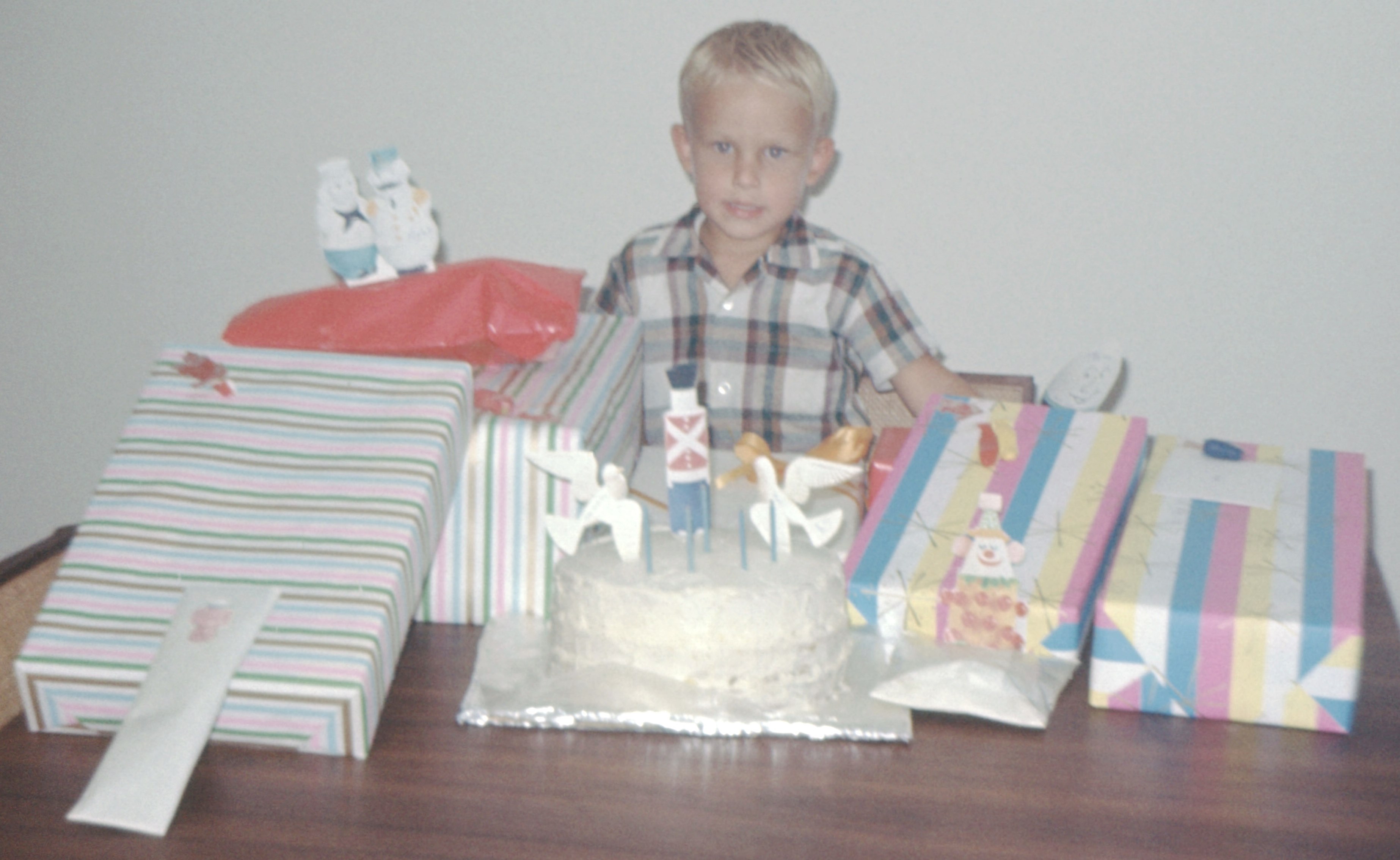
My brother Mark on his birthday in 1965.


© Amanda Pape - 2022 - e-mail me!

Monday, July 18, 2022

Alonzo Peyton Gordon House in Granbury

This past Saturday, I went to a presentation by the Bridge Street History Center about Alonzo Peyton (A. P.) Gordon (1847-1921), an early settler here in Granbury, and his 1882 house, which is one block south of the History Center (itself in the 1879 D. L. Nutt - Watkins House).  

Both of these places are just a couple blocks from my home.  The Gordon House is now part of the Dora Lee Langdon Cultural Center, which includes all the buildings and grounds on the entire block, and is owned and operated by the City of Granbury.

Here's how the Gordon House looked in December 2021:


Above:  A. P. Gordon House, Granbury, Texas, 22 December 2021 / Amanda Pape 


The presentation included a handout with an old photograph of the house dated 1924.  I don't have access to a good copy of that image, but the one above is similar.  The presenter remarked that "some of our preserved houses sure don't look like they used to!"

That got me wondering what Sanborn fire insurance maps might tell us about the changing footprint of the house.  Here's the house on the March 1893 Sanborn map, on the corner of Brazos and Pearl streets:


Above:  Granbury 1893 Sheet 2 (cropped).  Below:  Granbury 1898 Sheet 1 (cropped).  Both from the Perry-Castañeda Library Map Collection,
Sanborn Fire Insurance Maps - Texas (1877-1922), University of Texas at Austin.


The March 1893 Sanborn map doesn't make it very clear if the front porch (on the Pearl street side) is one story or two, but the July 1898 map (just above) does - it's two stories.

By the time the January 1905 Sanborn map was made, the front porch had been extended to wrap around the front and sides of the house, as shown below:


Above:  Granbury 1905 Sheet 4 (cropped).  Below:  Granbury 1910 Sheet 5 (cropped).  
Sanborn Fire Insurance Maps - Texas (1877-1922), University of Texas at Austin


By the time of the July 1910 Sanborn map (above), the two-story porch had been extended around almost the entire house.  The back wing that had the water tank had been removed, but the rest of that back wing had been extended to two stories.

The March 1945 Sanborn map (from the TexShare Proquest Digital Sanborn Maps, 1867–1970 database) shows the same configuration for the house.  In the article "Chrysalis Rings New Theme in Old House" by Ardyce Pfanstiel in the March/April 1984 issue of granbury! The Journal of the Historic Brazos River Valley (volume 1, number 2, pages 26-28), I learned that the two-story porch was removed in 1956, as was the rear two-story wing, and the existing one-story kitchen addition was constructed.

So based on all this information, the old photograph near the beginning of this post would have been dated after July 1898 (the last Sanborn map that shows only a smaller two-story front porch).

However, I would date the photograph below (also undated) as falling sometime between July 1898 and January 1905 (the first Sanborn to show a two-story front porch wrapping around the front and sides of the building.

Why?  Notice in the photograph below, you can see the projecting bay windows on the lower floor (as in the December 2021 picture at the beginning of this post).  Those bay windows do not appear on the July 1898 Sanborn.


Below:  Combination of Granbury 1905 Sheet 3 (cropped) and Granbury 1905 Sheet 4 (cropped).  Both from the Perry-Castañeda Library Map Collection,
Sanborn Fire Insurance Maps - Texas (1877-1922), University of Texas at Austin
Click on the image to make it larger.


Speaking of the bay windows, a descendant of Alonzo P. Gordon who was at the presentation told us a story about Alonzo, who owned a store on the square on the southwest corner of the intersection of Pearl and Crockett.  He said Alonzo used to walk home for his midday meal, and ate it sitting in one of the bay windows.  From there, he could see if someone entered his store, and then hurry down the street to help the customer.

The 1905 Sanborn map above shows the sight line from the westernmost bay window (hidden under the two-story porch) to Gordon's store on the corner.  I stepped into that window area while at the house, and sure enough, I could still see the building (formerly the Nutshell Bakery, now the Square Cafe, and St. Helens).


© Amanda Pape - 2022 - e-mail me!

Sunday, July 3, 2022

Happy Birthday to My Baby Brother!


Happy birthday to my brother Brian today, and to his lovely wife Paige, who has a birthday in a couple weeks.  Photo is from September 15, 2012.


© Amanda Pape - 2022 - e-mail me!